Two roads lead north from Nairobi into Samburu: the A2 for Ololokwe, Archers Post and Wamba, and the A4 through Nyahururu for Maralal.
- Nairobi to Maralal
- About 335 km by road, roughly 6 hours of driving, via Gilgil, Nyahururu and Rumuruti on the A4
- Nairobi to Archers Post
- About 308 km on the A2 through Nanyuki and Isiolo
- Ololokwe
- Off the A2, around 340 to 350 km from Nairobi, with a short dirt road to Sabache Camp
- Wamba
- Roughly 40 km west of the A2, on the edge of the Mathews Range, north-west of Samburu National Reserve
- Flights
- Scheduled light-aircraft flights run from Wilson Airport to Nanyuki and to the Samburu airstrip
- Best to avoid
- Driving after dark, and unpaved sections in the long rains (March to May) without a high-clearance vehicle
Route one: the A2, for Ololokwe, Archers Post and Wamba
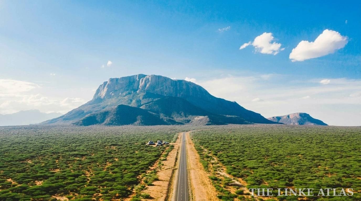
Leave Nairobi towards Thika and Mount Kenya, pass through Nanyuki, then drop down to Isiolo and continue north to Archers Post, the gateway town for Samburu County. Ololokwe’s flat top rises from the plains beside the road some way north of Archers Post, and the dirt road to Sabache Camp leaves the A2 there. For Wamba, turn west at Archers Post: the road towards Maralal passes villages such as Lengusaka before reaching Wamba, headquarters of the Samburu East area. Allow extra time on this section and ask locally about the road before you set out.
Nanyuki, around 200 km from Nairobi, is the natural place to break the journey.
Route two: the A4, for Maralal
For Maralal take the road via Gilgil and Nyahururu to Rumuruti, then north on the A4. The Rumuruti to Maralal section is described as the gateway to Samburu County and was being paved as of 2019, so check its current condition. Maralal is the county capital and a base for the highlands, the Losiolo Escarpment viewpoint and routes further north.
By air, bus or matatu
Scheduled flights from Wilson Airport serve Nanyuki and the Samburu airstrip, and then you drive. Public transport is limited beyond the main towns: services to places like Maralal and Isiolo are easier to find than to smaller centres, so ask your host or guide to help arrange the last leg.
Practical tips
- Fill your tank in Nanyuki, Isiolo or Nyahururu, and carry water, a spare tyre and a charged phone.
- Mobile signal can be patchy off the main roads. Tell your host your expected arrival time.
- Start early so you arrive in daylight. Livestock, including camels and goats, often use the roads.
- Check road conditions and security advice with your host or the county before you go.
Where to break the journey
Laikipia Mara Homestay
A community partner in Makutano, Nanyuki, on the Nanyuki–Meru Road. Executive Airbnb-style stays with king-size beds, fast Wi-Fi, a work table, 24-hour security and parking. Nanyuki sits on the A2 route north from Nairobi, around 200 km out, so it breaks the drive well.
About this partnerSamburu safaris
Game drives and guided days around Samburu National Reserve and the conservancies.
See safari optionsAffiliate links: if you book through a stay or safari link on this page, we may earn a small commission at no extra cost to you. Links are marked as sponsored.
Once you are there, read how to hike Ololokwe and how to be a good guest.
Take the guide with you
The free Ololokwe Visitor Field Guide puts the essentials in one short PDF: the route, the hike, respect on the mountain, the sky and where to stay.
Facts checked in October 2026 against published sources, which sometimes disagree. Fees, opening arrangements and road conditions change, so confirm with your host or guide before you travel.
Sources: Wikipedia, A4 road (Kenya), Samburu County and Wamba; Rome2Rio, Nairobi to Maralal; Abiri Kenya, Samburu County and Archer’s Post; Wikipedia, Lengusaka. Distances are road estimates from these sources.